In November 2022, Mimal Land Management submitted its Indigenous Protected Area management plan to the Federal Government.
It’s the final step before the government considers Mimal’s proposal to declare an IPA across 18,300 sqare kilometres in south-central Arnhem Land.
The submission comes after a journey to complete consultation and development of the plan amid a global pandemic.
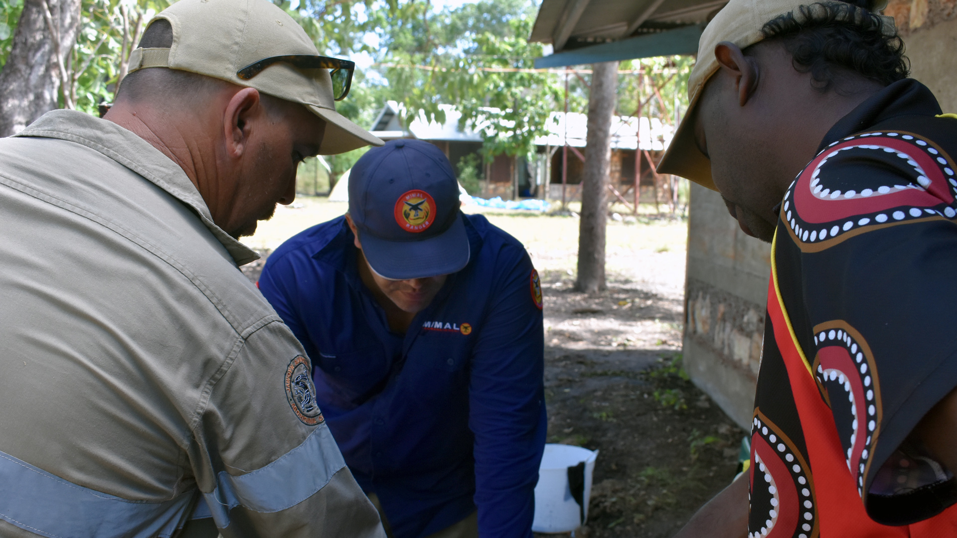
It was developed through in-depth consultation with more than 20 clan groups who collaborated with Indigenous rangers, researchers and scientists to map and prioritise Mimal’s environmental and cultural assets, identify threats and outline ways to manage them.
In October 2019, the Federal government awarded Mimal Land Management more than $320,000 to support community consultation and work toward the management plan.
Mimal landowners and custodians are hopeful they can officially declare their country an IPA in 2023.
What is an IPA?
Indigenous protected areas are a vital part of Australia’s system of national parks and reserves, protecting the nation’s biodiversity for the benefit of all Australians.
They recognise Indigenous rights to manage country while promoting biodiversity and conservation outcomes through the National Reserve System.
It’s land First Nation’s custodians protect and manage through traditional culture and knowledge, and national and international conservation guidelines.
There are more than 81 IPAs across 85 million hectares, more than half of Australia’s national parks and reserves, including some of Australia’s rarest and most fragile environments.

Mimal IPA
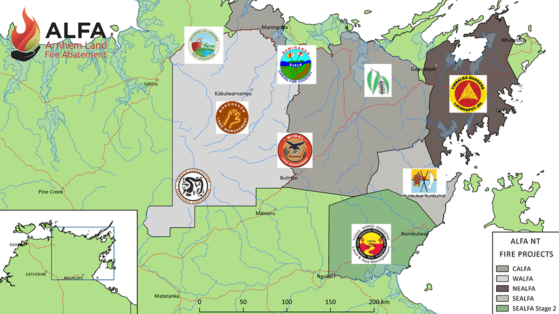
The proposed Mimal Indigenous Protected Area covers 18,300 square kilometres (1.83 million hectares) in the geographic centre of Arnhem Land.
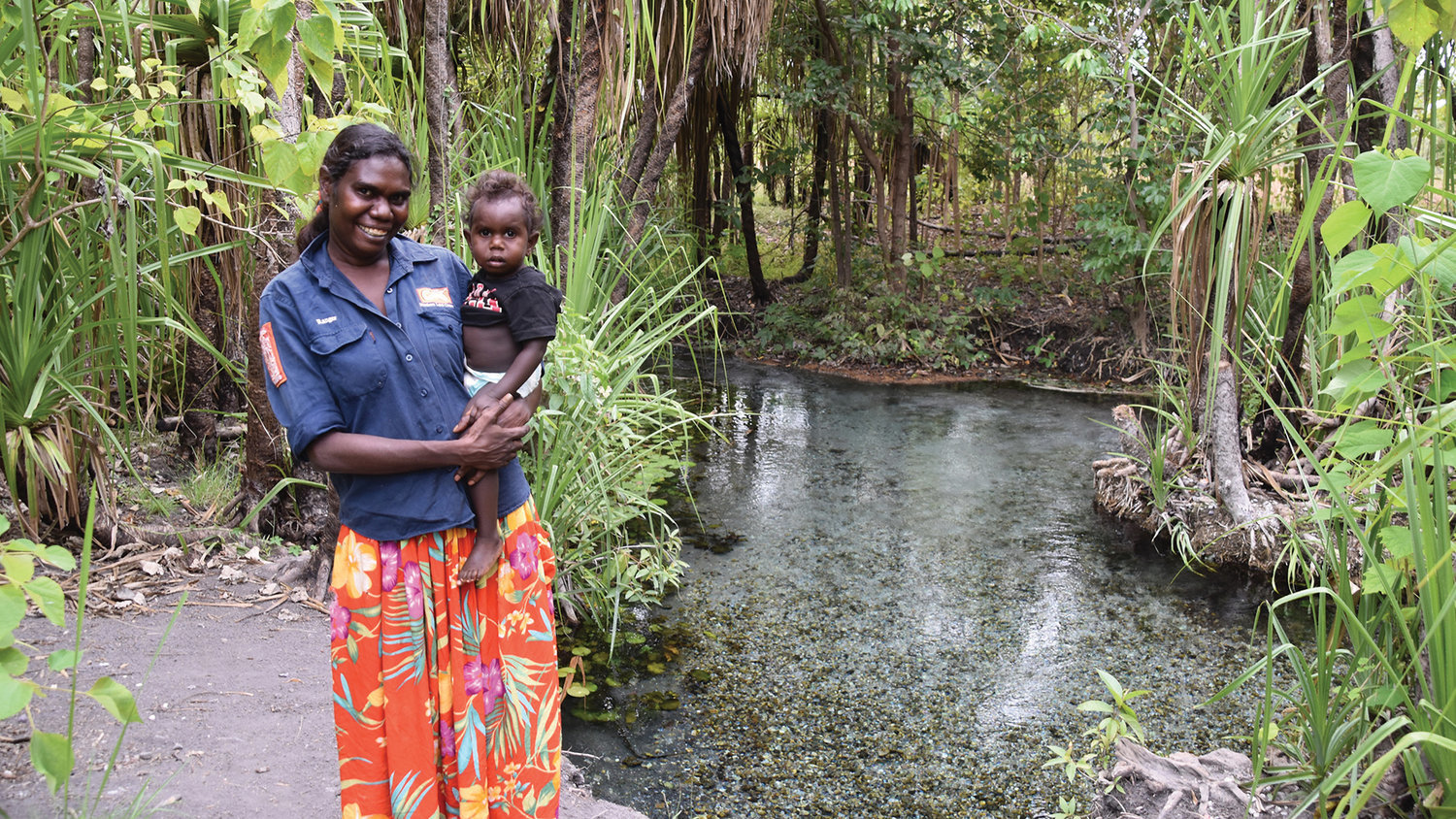
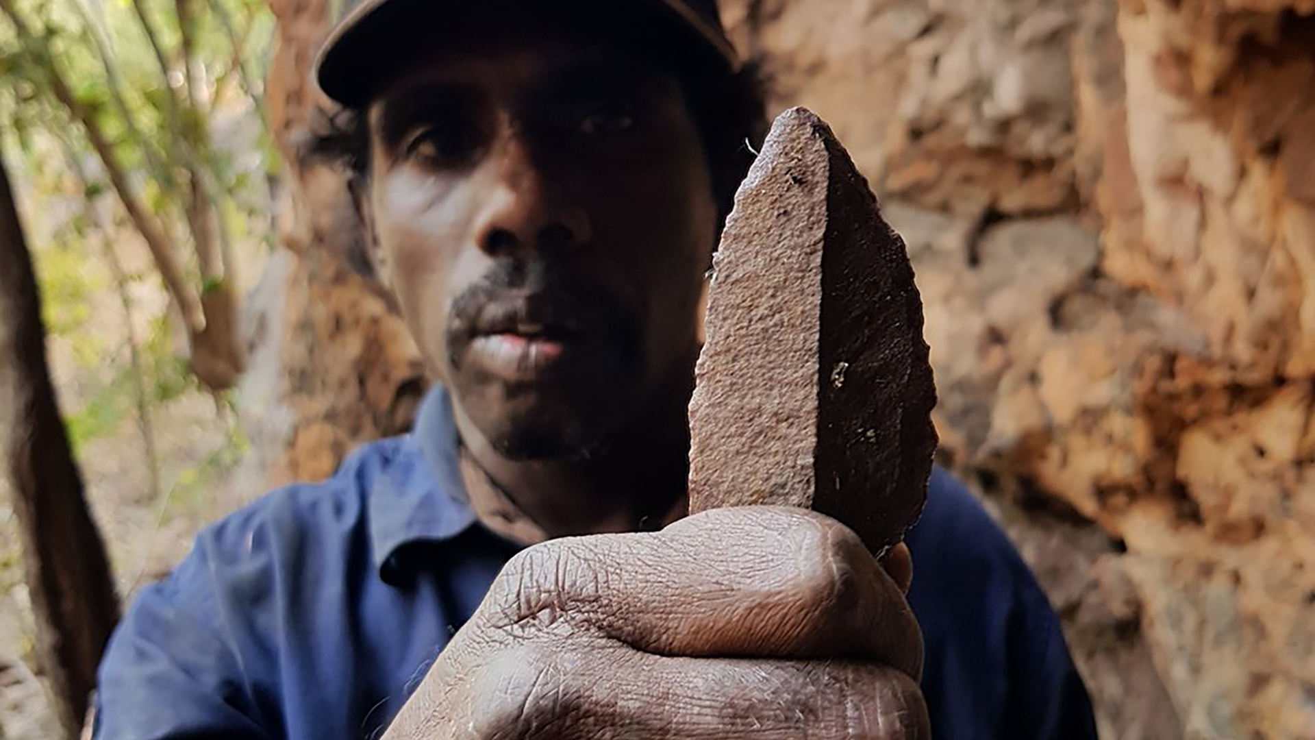
The region is home to the Dalabon, Rembarrnga and Mayili people, who hold an unbroken history of land ownership and management. Their traditional connections to country remain largely intact and many landowners either reside on or spend long periods at outstations. The area is covered with places of significance, including rock art sites, dreaming lines and sacred places linked to spiritual ancestors.
The proposed IPA features a network of large rivers, including the headwaters of the rivers flowing into the Gulf of Carpentaria including the Rose, Phelp, Wilton and Mainoru. The region also features the north flowing rivers, Mann, Blyth and Goyder, along with the headwaters of the Arafura Swamp catchment.
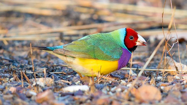
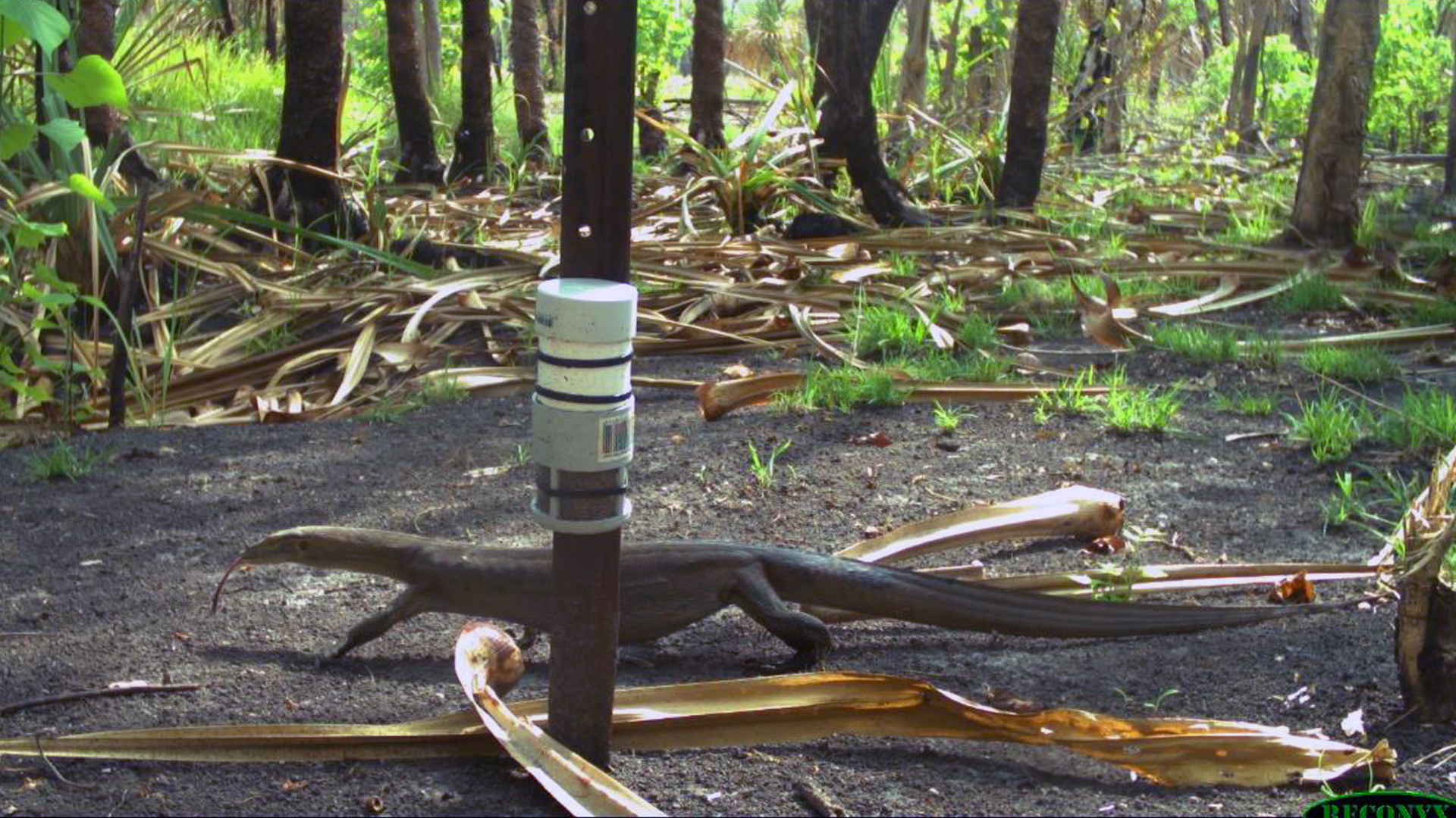
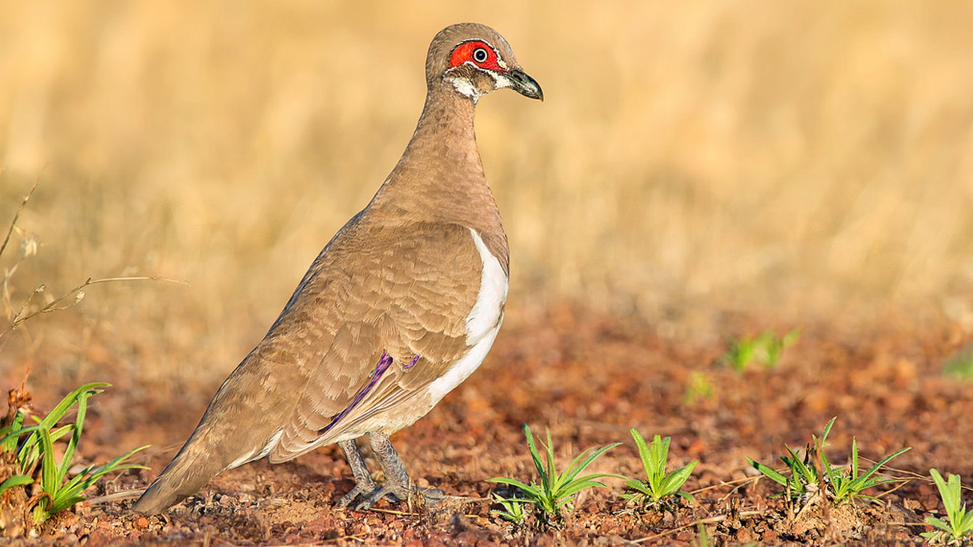
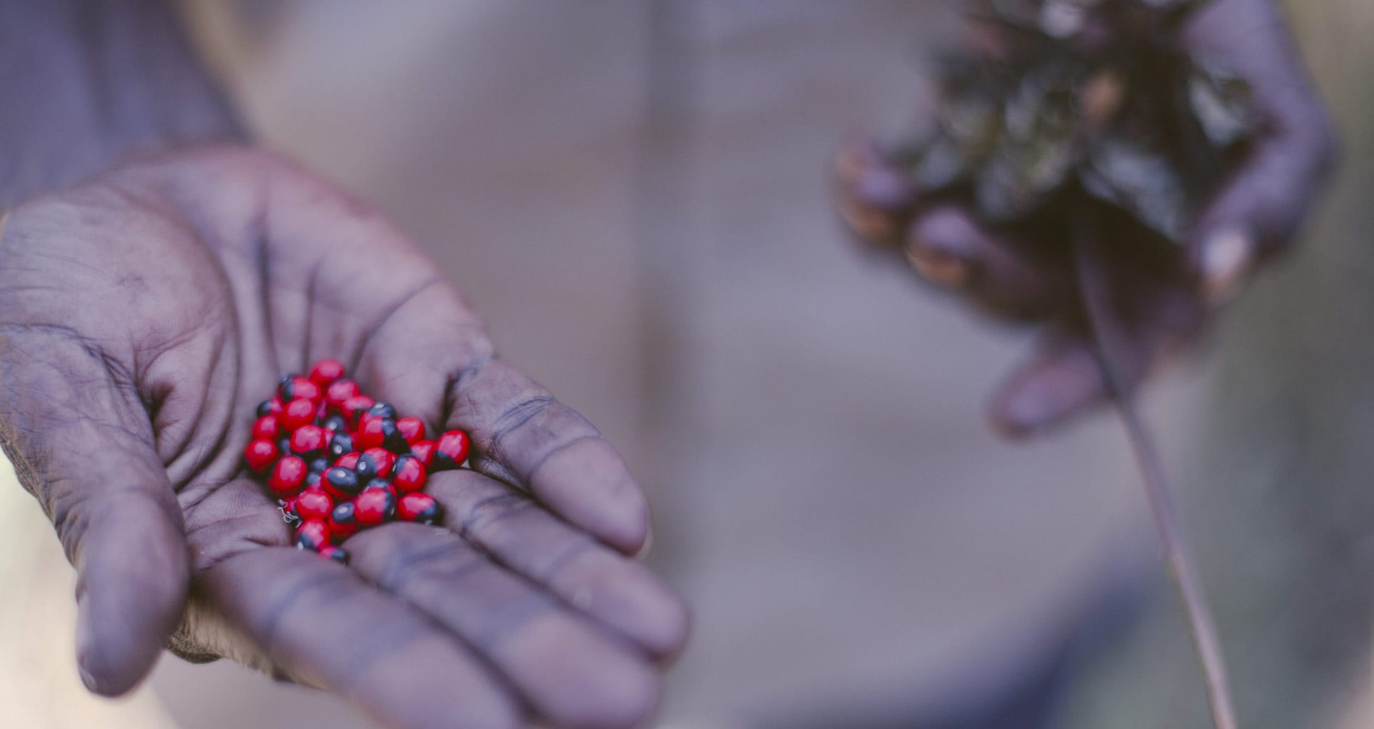
Its biodiverse landscape includes grassy plains (ruwurrno and rorrobo), woodland and forest areas (berrhno and mininyburr), freshwater country (djula and wah) and rock country (badno and ngalwad). Across the area, nine species are listed as threatened, including the Northern Quoll, Gouldian Finch and Leichardt’s Sawfish. Two curlew species are listed nationally as critically endangered, three species are listed as endangered and 12 as vulnerable.

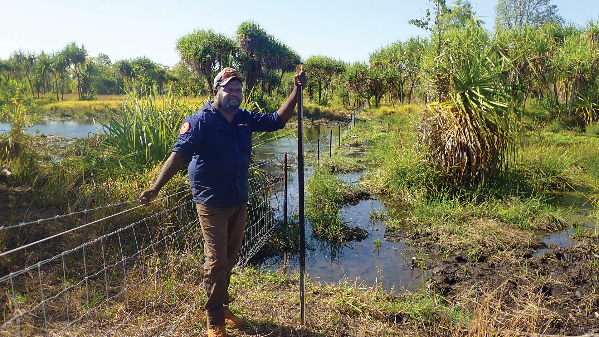
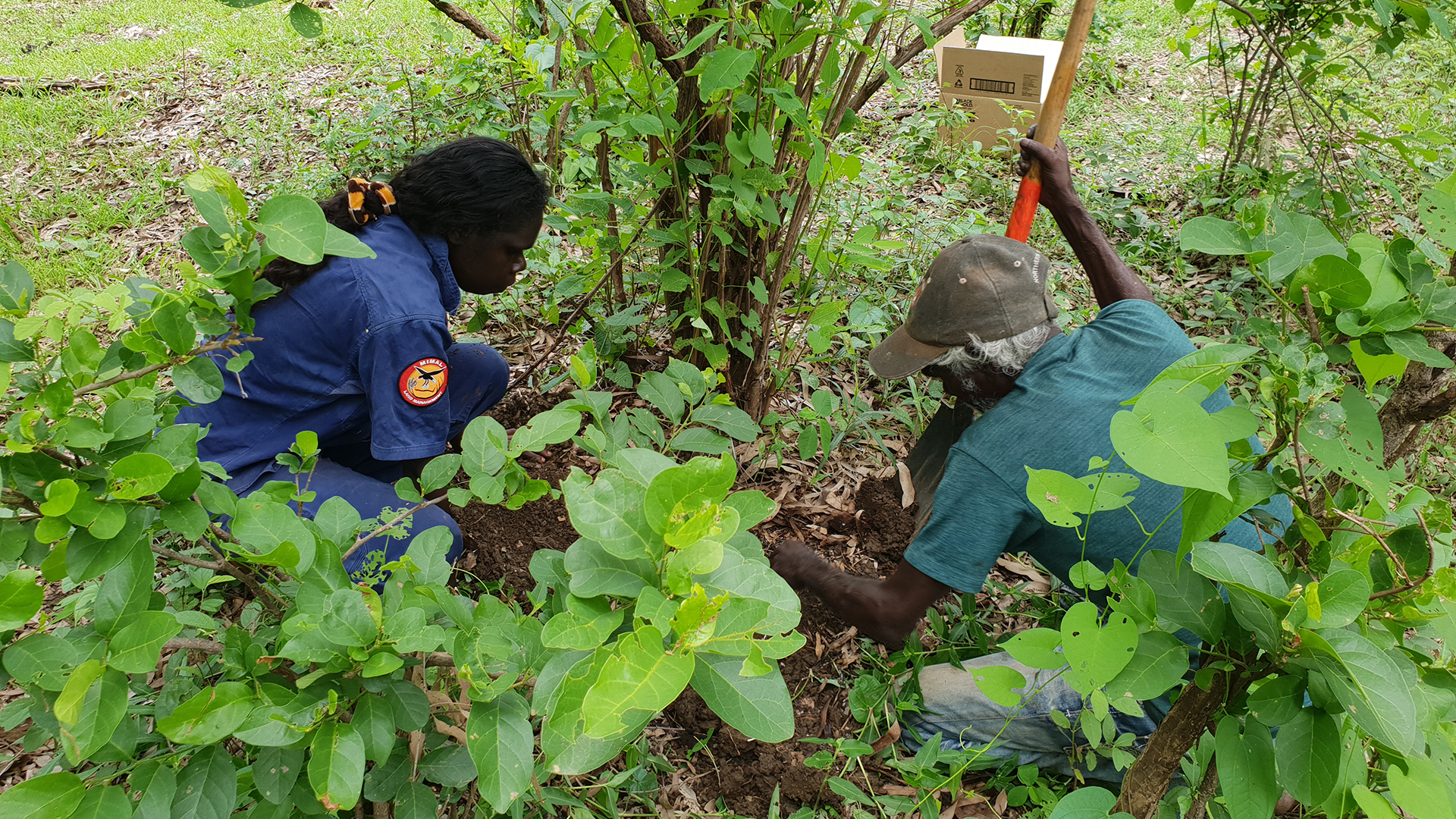
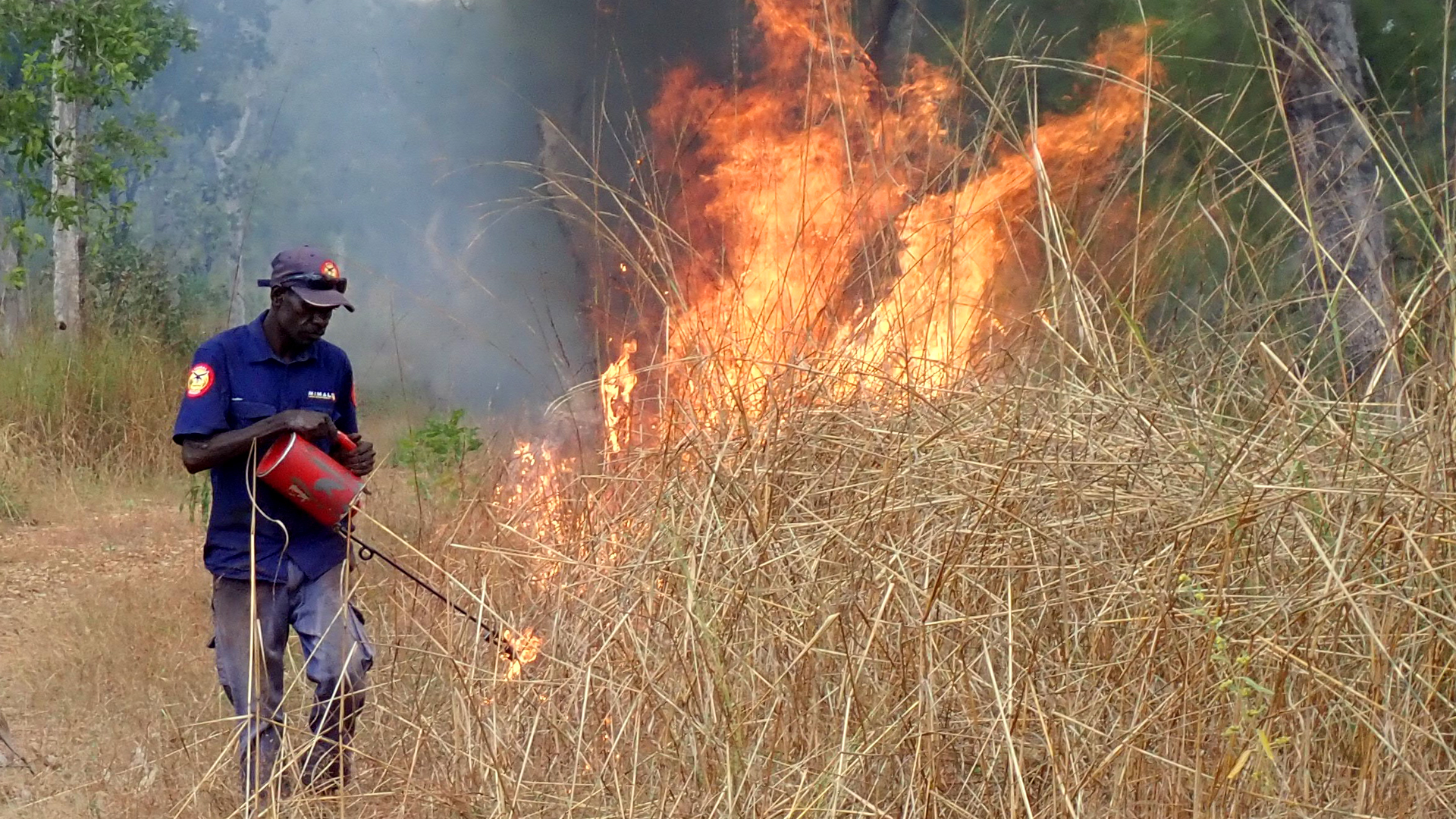
The area’s natural and cultural assets are managed by Mimal Rangers on behalf of and in cooperation with landowners and custodians./
Under an established Healthy Country Plan, the rangers manage land, water and fire, and conduct wildlife protection, monitoring and revegetation programs, weed and feral animal control, and carry out rock art, cultural history and language projects, and learning on country education programs with school children.
The proposed IPA includes 1,240 square kilometres (124,000 hectares) which overlaps with existing IPAs including Warddeken, Djelk and South East Arnhem Land IPAs. It also shares a boundary with the Arafura Swamp Rangers Aboriginal Corporation and the Australian Wildlife Conservancy’s Wongalara Sanctuary.
The Mimal IPA would add significantly to national conservation and, in conjunction with neighbouring IPAs and sanctuaries, substantially increase the reservation of the Central Arnhem bioregion and create one of the Northern Territory’s largest Indigenous-owned conservation corridors.
To find out more about our proposal, read the Mimal IPA Prospectus.